RegionAll of FranceBy railFrom any Paris terminus
France by rail: plan around the Paris spokes
TGV, Intercités and TER each play a different part. Read the star-shaped map in that order, then use Paris’s station names to organise your route.
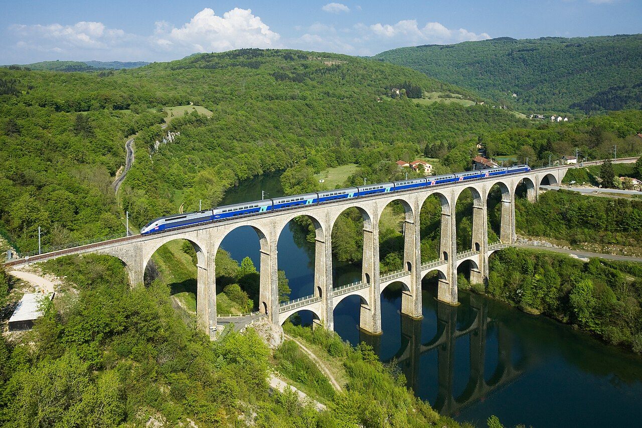 Kabelleger / David Gubler • BY-SA 3.0
You open a rail map and Paris sits at the centre. Lines reach outwards, but they do not all work alike. Start by sorting the trains, then sort the stations. The map makes more sense when you plan from its spokes.
The numbers: 1981; about 410 kilometres; 574.8 kilometres an hour; more than 2,800 kilometres; 2017; about two hours; 1938.
Begin with your destination, not the train’s reputation. The French network has high-speed lines, classic lines and regional trains. Each belongs to a different layer of your plan. Think of Paris as the hub, with routes spreading towards different regions. The star-shaped map is a useful organising idea, not a reason to force every journey through the capital. First decide which region matters. Then ask which kind of rail journey fits it. That keeps speed from becoming your only measure.
Choose the TGV when a high-speed line fits your route. The first line, between Paris and Lyon, opened in 1981. That line is about 410 kilometres long. France now has more than 2,800 kilometres of high-speed line. The scale matters because TGV is not simply a train with a brisk name. It belongs to a network built around high-speed lines. A TGV set the conventional-train world speed record: 574.8 kilometres an hour, in April 2007. Treat that record as context, not your journey plan.
Use the Bordeaux example to understand what a new line changes. The high-speed line to Bordeaux opened in 2017. It cut the Paris trip to about two hours. That is the practical point of the infrastructure: a line changes the shape of a journey. It can make a regional destination feel closer to Paris by rail. Do not turn one example into a promise about every route. Instead, read each destination against the lines available. The high-speed layer is powerful, but it is only one part.
Next, separate Intercités from the high-speed picture. These trains run on classic lines, including Paris to Clermont-Ferrand. Another example runs between Bordeaux and Marseille. The route names show why Intercités belongs in your plan: it connects places beyond the simple line-between-Paris-and-Lyon story. Start with the places you want to join, then see whether a classic-line journey serves that shape. Do not assume every leg needs to be high-speed. A route can make sense without matching the TGV map exactly. Keep the journey’s geography in view.
Bring TER into the picture for regional travel. TER trains are run under contract with France’s regions. They are the regional layer, rather than the high-speed layer. TER trains have no seat allocation. That changes how you think about the seat, not the destination. Leave room in your plan for the regional part of a journey. Do not treat TER as a smaller TGV; it has a different role in the system. If your route includes more than one train type, keep each leg distinct.
Now work out which Paris station belongs in your route. Paris’s main-line stations each serve different regions. The names to recognise are Nord, Est, Lyon, Austerlitz, Montparnasse and Saint-Lazare. Treat the station as part of the route, not a decorative detail. Match your regional destination to its Paris station before building the rest. The station names alone do not make the trains interchangeable. A route beginning at one terminal is not automatically a route beginning at another. Keep the station attached to the destination as you plan.
Keep the seat arrangements distinct when you arrange your train legs. TGV seats are always allocated. TER trains have no seat allocation. Those are clear differences, so keep them separate in your notes. Avoid carrying the TGV arrangement across the whole network. Equally, do not assume the TER arrangement applies to every train. The train type is the useful first sorting label. Once you have that, the route becomes easier to read.
Put the pieces together in a sensible order. Choose the region, identify its Paris station, then sort the train type. Use TGV for high-speed lines, Intercités for the classic-line examples, and TER for regional journeys. For a night journey, compare your plan with the overnight trains from Austerlitz. The national rail company SNCF was founded in 1938; that gives the system a long institutional frame. Still, your useful map is the one in front of you: station, region, line, train.
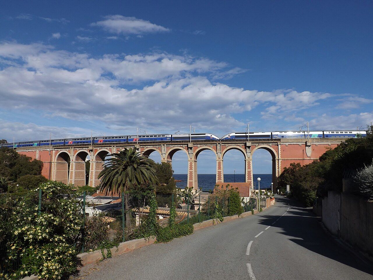 Florian Pépellin • BY-SA 3.0
The map makes more sense when you plan from its spokes.
Keep the sequence simple: region first, station second, train type third. Paris is a set of different terminals, not one interchangeable starting point. Beyond it, high-speed, classic and regional lines each shape a different journey. That is the trick: plan around the spokes, rather than asking every route to behave alike.
Photos in this piece: Skola19 • BY-SA 4.0; Popolon • BY-SA 3.0; DocteurCosmos • BY 3.0