Chapter 05
Provence to the Pyrenees
The Pyrenees run about 430 kilometres from the Atlantic to the Mediterranean. Provence has the mistral, a cold, dry wind blowing down the Rhône valley. The Rhône reaches the Mediterranean through the Camargue delta. Corsica, the Mediterranean’s fourth largest island, adds another shape to this southern map.
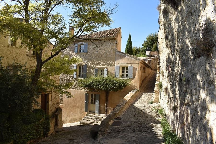 A slow loop through the Luberon villagesA slow route through stone-built Gordes, ochre-red Roussillon and Lourmarin, with an on-foot walk through the old quarries.Provence-Alpes-Côte d'Azur (Vaucluse) · TGV to Avignon, then bus
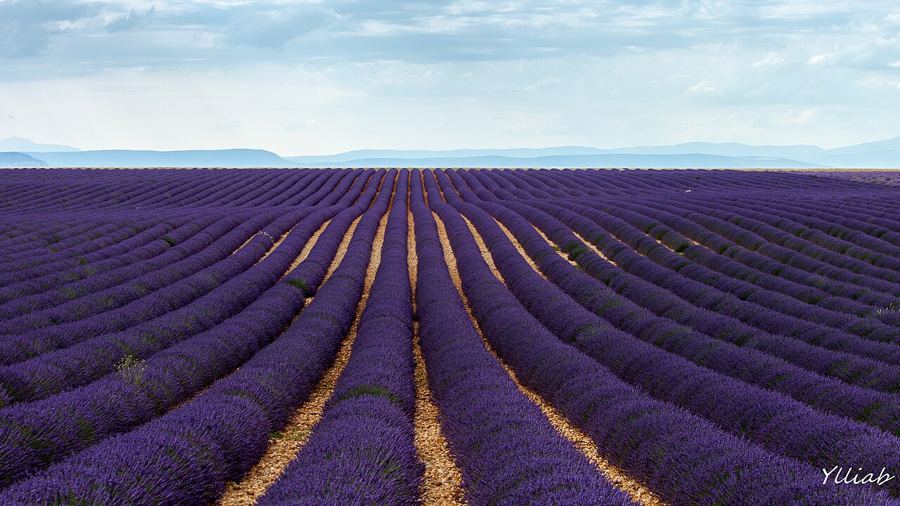 The lavender of ValensoleValensole’s summer fields, read by plant, season and still: much of the crop is lavandin, a hybrid that is not true lavender.Provence-Alpes-Côte d'Azur · Train to Manosque, then road
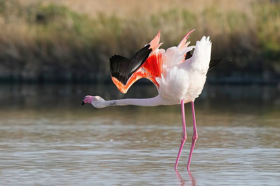 The Camargue by bus, bike and on footA practical route into the Rhône delta, where lagoons, flamingos, semi-wild horses, gardians and salt pans explain the Camargue’s working shape.Provence-Alpes-Côte d'Azur and Occitanie · TER to Arles, then bus
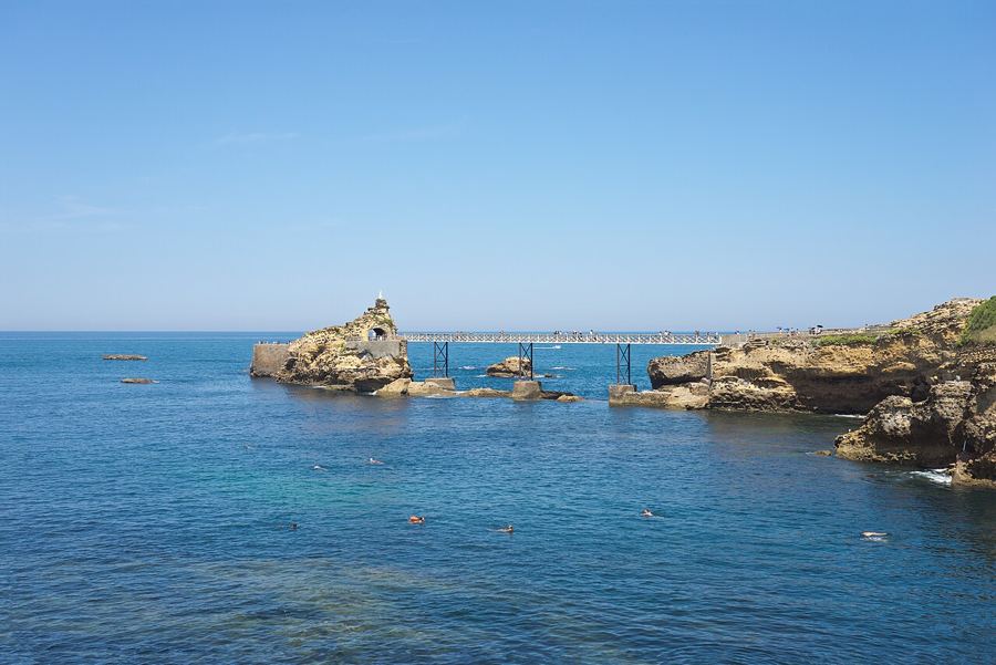 The Basque coast, from Biarritz to HendayeA weekend itinerary from Biarritz to Hendaye, with a rack-railway climb up La Rhune and Bayonne’s river meeting behind the coast.Nouvelle-Aquitaine (Pays basque) · TGV from Paris Montparnasse, about 4 h
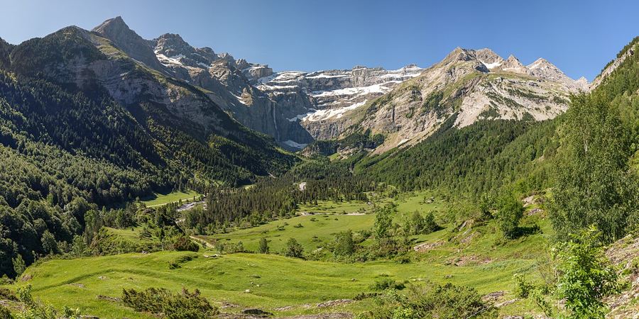 The Cirque de Gavarnie: an easy walk to a vast viewAn easy valley walk leads from Gavarnie village to limestone walls and a waterfall on a very large scale.Occitanie (Hautes-Pyrénées) · Train or night train to Lourdes, then bus
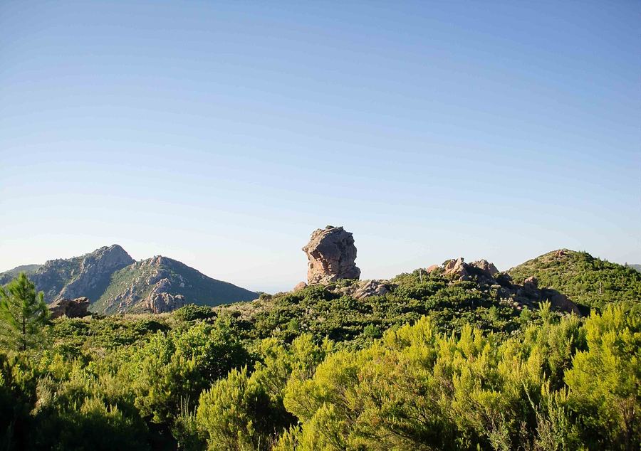 The GR20 across Corsica: you can walk halfA route of about 180 kilometres, the GR20 divides at Vizzavona. Take in its two halves, stage count and season from June to September.Corsica · Corsican railway to Vizzavona (halfway)
Photos in this piece: Michael.F.H.Barth • BY-SA 4.0; Ylliab Photo • BY-SA 2.0; Giles Laurent • BY-SA 4.0; Jörg Braukmann • BY-SA 4.0; Benh LIEU SONG • BY-SA 2.0; Hermes from mars • BY-SA 3.0